


Wanaka Base Camp
By Dave Mitchell
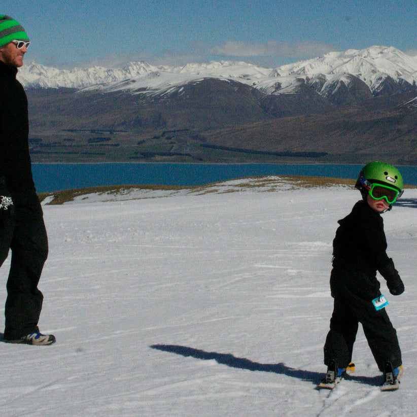
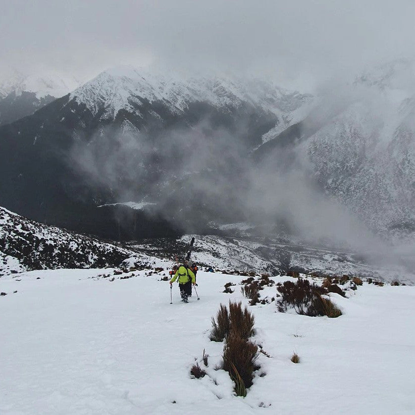
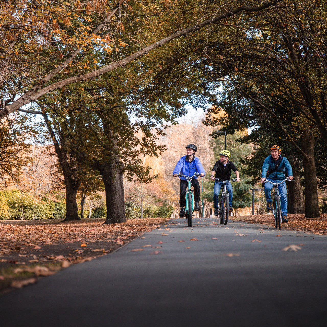
Wanaka is world famous for its single track mountain bike riding, with Sticky Forest, Deans Bank and its fantastic lake edge track that undulates its way to Glendhu Bay. The family friendly Hawea Track and the just completed lake edge extension, along with the tracks that follow both sides of the Clutha River to Luggate, add another layer to Wanaka’s MTB mana. Just beyond civilisation and the temptations of Wanaka’s excellent bars and cafes, lurk a number of decent day rides.

Minaret Burn Track
Just a few kilometers passed Glendhu Bay, West Wanaka Road took us to Homestead Bay and the start of the trail. A nice slice of single track climbs above the lake edge to join the farm 4WD track, which then undulates gradually to Colquhoun’s Beach and on to Station Creek. The reserve of the same name provides access to the lake foreshore through a healthy stand of beech trees. Beyond the ford, which can be impassable in heavy rain, a steep and demanding climb zig zagged us out of the Rumble Burn Valley up to a high pasture just below Ote Koti Koko. An old mustering hut resides below the track and made an excellent snack spot with commanding views across the lake and back to Wanaka below a blue sky with spectacular fast moving cloud formations.
At the end of the terrace the track descends over a huge unstable rock fall-slip devoid of motorised vehicle tracks. We followed this down into the Minaret Burn and onto a wet and slippery ex-track that headed through bracken fern, schist and scrub into the wilderness. The topo map shows the profusion of waterways that make the track so. Past attempts at drainage have alas ended in failure, but provided us with a fun ride dodging the muddier sections and rain ruts. The track ends abruptly just beyond a large grazed flat before plummeting down to greet the Minaret Burn, where the valley widens out. We had lunch in the sun but from the south black clouds were massing and our weather window was about to deliver a shower or two.
The return ride provided some excellent downhills, especially the single track back to the start. It was a reasonably long day out with a few gnarly climbs through a great bit of high country where you can gauge your effort and fitness and turn around any time you like.
Isthmus Peak
Isthmus: a narrow strip of land, bordered on both sides by water.
We cruised early the next morning on SH6 past the sleepy settlement of Hawea and around the bottom of it’s lake to Bottom Bay and the Stewart Creek lay-by. Our bikes were soon crawling along in granny gear as we rode up a narrow bush clad easement and along a gnarly fence line adjacent to the antics of Stewart Creek. The track clambers up a short rock face far too steep to ride without a motor. It then swings south along the 560 meter contour, much to our relief and joins the Dinner Creek Catchment and farm 4WD track.
From there the track rides over a mix of steep and very steep gradients dozed within the confines of the ridge width. We managed to ride the rest, Ditte and I, with stunning vistas taking shape to the east and the last of our breath away. A cool breeze greeted us on the ridge top and a short ride to Isthmus Peak, elevation 1385 meters and the high point of this mountain range. This is where the Isthmus bit comes in with Lake Wanaka to the west and Lake Hawea east almost touching at the northern base of Isthmus Peak. We lapped up the view and lunch before heading along the ridge top and into Matatiaho Conservation Area.
Alas there is no access beyond the conservation area and no bikeable trail down the tongue of scrub to the Craig Burn on SH6. So it was back along the undulating ridge soaking back up the views and stopping for more images with the promise of a long fast spectacular disc brake-baking downhill to end the day in style.
The Dingle Burn Hunter Valley Track
From the town of Hawea we headed down the gravel Dingle Burn Station Road to the Dingle Burn DOC car park at the end of the public road. We hopped on our bikes and pedaled around the spectacular bluffs high above the lake to Silver Island Bay. A DOC marked track climbs steeply out of the bay and traverses around to the Turihuka Conservation Area via single track. We got awesome views up the Hunter Valley and across to the Young Range from its high point, before descending into the conservation area. Lush green grass amongst a large Kanuka stand makes for a great camp site where a tramping track heads up the Dingle Burn Valley and beyond.
We crossed the cold clear water of the Dingle Burn to find more benched single track making its way through the kanuka, native shrubs and remnant stand of beech forest. It’s a great track for getting up a bit of speed and flow, with short climbs and plenty of water crossings over a mix of smooth and rocky terrain. We lunched at the track end after 25kms, where the lake begins and the Hunter River ends. Its wide braided bed grey shingle and fine dark sand heading another 25kms up to the Forbes Hut, buried deep in the Hawea Conservation Park. As luck would have it, we caught a light warm westerly tail wind on the way back arriving somewhat jaded back at camp. Another ride where you can roam as far as your fitness and food takes you.


Ref: DOC Matatiaho Conservation Area, Hawea Conservation Park & Minaret Burn Track. DOC Wanaka has information on all the local tracks.